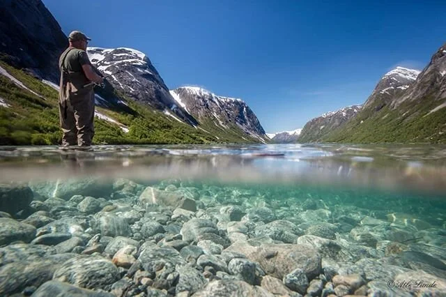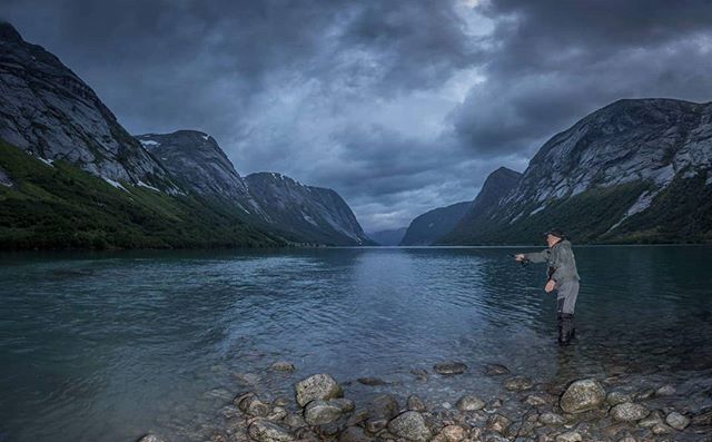


The possibilities for hiking in the Jølster areas are widespread. You can choose anything from family walks to strenuous hikes that demand good physical training. Most of the hiking trips leads you up in the mountains and you will get a great view over Jølster, the Jølster lake, the mountains and the glacier around.
ROUTE, LUNDE - FJÆRLAND
One of the classic routes over the Jostedal glacier is between Lunde in Jølster and the Bøyum valley in Fjærland. At Lunde, the track starts from the main road by the tunnel mouth, going a little way up the valley, then steeply up Lundeskaret. It runs up the east side of Skarsgrova, crosses the river under two huge stone blocks, Storalteret (big altar) and Veslealteret (small altar). In 1903, Andreas Lunde received economic support from the Norwegian Hikers Association to blast ledges in the mountain and secure it with bolts and wire. He also blasted out steps, 53 by 1930. After this steep climb to about 3000feet, the landscape flatens out north of Trollvatnet and over Marabreen to the highest point at Kvitevardane, 4335 feet above sea level. Down to Fjærland it is an even, steep route of about 2 miles to Bøyastølen.
(translated from the book "Jostedalsbreen - vandringar i nasjonalparken" of Oddgeir Bruaset)
Our suggestions
- Lundeskaret
- Lunde - Fjærland
- Haugabreen
- Lunde - Søgnesand
HIKING MAP/ FOLDER WITH HIKING TRIPS IN JØLSTER
We sell hiking maps at Lunde Turiststasjon for NOK 149,-.
Jølster has also made a folder with17 popular hiking trips, which we give out for free.